


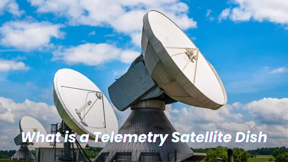
Telemetry satellite antennas are a type of antenna used to automatically record and transmit data from remote sources to an IT system in a different location for monitoring and analysis.If you're looking to buy or use it, read on to learn more about telemetry antennas and why you should choose them.
|
Article Directory |
What is a Telemetry Satellite Ground Station?
The remote sensing satellite ground station is a technical system used to receive, process, archive, and distribute various remote sensing satellite data. It consists of two parts: a ground receiving station and a ground processing station. The main task of the former is to search and track satellites, and receive and record satellite remote sensing data, telemetry data, and satellite attitude data. The latter consists of a computer image processing system and an optical image processing system.
What Are the Components of a Telemetry Satellite Ground Station?
A complete remote sensing satellite ground station usually consists of three systems with different functions-tracking and receiving system, data processing system and camera processing system.
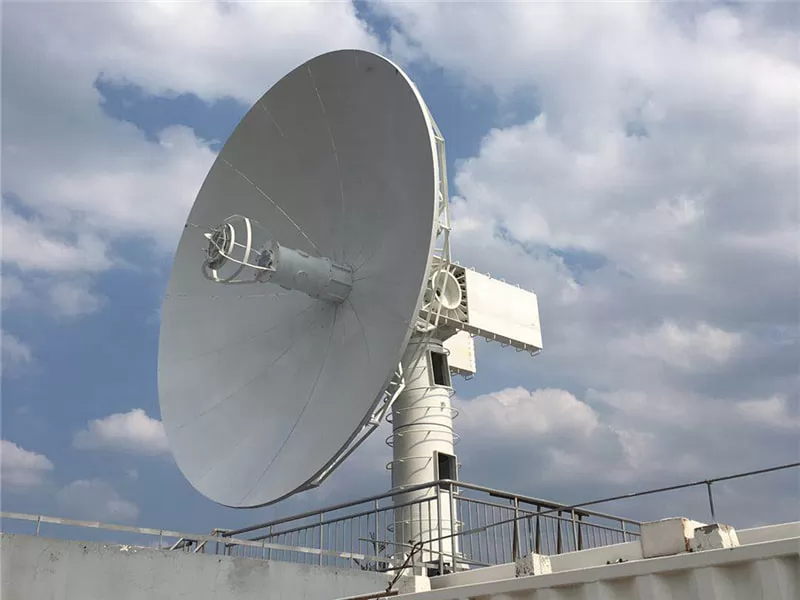
Tracking receiving system
The system has a parabolic antenna to track remote sensing satellites and receive the remote sensing data and telemetry signals it collects. The antenna usually has three tracking modes: automatic, program-controlled and manual, which can track satellites in the whole hemisphere.
The site of the tracking receiving station should be selected in an area with little electromagnetic interference. In order to make the ground station have a larger receiving coverage, the elevation angle of the skyline around the station area should be less than 5°. The station area should also establish the north mark and antenna mark calibration facilities.
Data processing system
It is a computer system with a host computer and an arraying machine as the core, equipped with a large number of special-purpose, conventional peripheral devices, and various application software. The serial data stream sent by the high-density tape drive is transformed into a multi-line parallel data stream through a format synchronizer (composed of a special microprogram control computer) and then sent to the computer disk system at high speed. At the same time, the system performs calibration, data extraction, calculation of statistical properties of remote sensing data, and radiation correction.
Photo processing system
The color and black-and-white latent image film output by the film imaging and recording device is made into the original film by the photographic processing system, and is copied or enlarged into various color and black-and-white transparent films, photos, and synthesized into the required false color products for users to browse quickly. Depending on the product is also processed here. Photographic processing systems are generally equipped with high-precision enlargers, copiers, color synthesizers, sensitometers, densitometers and automatic processing equipment. The resolution of the photosensitive material used should be above 100 lines/mm, and the reproduction and magnification, color synthesis, and image mosaic should be carried out under strict density monitoring and color balance monitoring; processing should be carried out under strict chemical analysis monitoring and precise speed. under control.
Main Applications of Telemetry Satellite Ground Stations
Receive, process, archive, and distribute various types of Earth observation satellite data to serve the whole country, and carry out research on the reception and processing of satellite remote sensing image data and related technologies.
In terms of scientific research development and user technical services, it provides users with special processing and technical consulting services for a large number of remote sensing satellite image data, and has mastered key technologies such as the reception, preprocessing and system integration of Earth observation satellite data, and remote sensing information analysis and extraction. .
Ground station data are widely used in many fields such as soil resources survey, forestry resource survey, ecological environment survey, monitoring of the expansion of key cities, desertification monitoring, crop yield estimation, disaster monitoring and assessment, geological and resource exploration, topographic mapping, etc., to promote high-tech The industrialization development of the application and the scientific demonstration of the macro-decision of economic construction have played a huge role.
Top Selling Telemetry Satellite Antenna Products in 2022


How to Buy a Telemetry Satellite Dish
Newstar is a professional satellite antenna manufacturer. We have been providing overseas customers with the best satellite communication products and solutions.
We have always been focused on the telemetry antenna market and have a team of people, experience and determination to consistently design, develop and manufacture telemetry satellite antenna products that our customers consider market-leading.
If you have purchase needs, please contact us! We will provide you with reasonable quotations and solutions!